 |
| Script results |
 |
| Text file |
 |
| ArcGIS output |
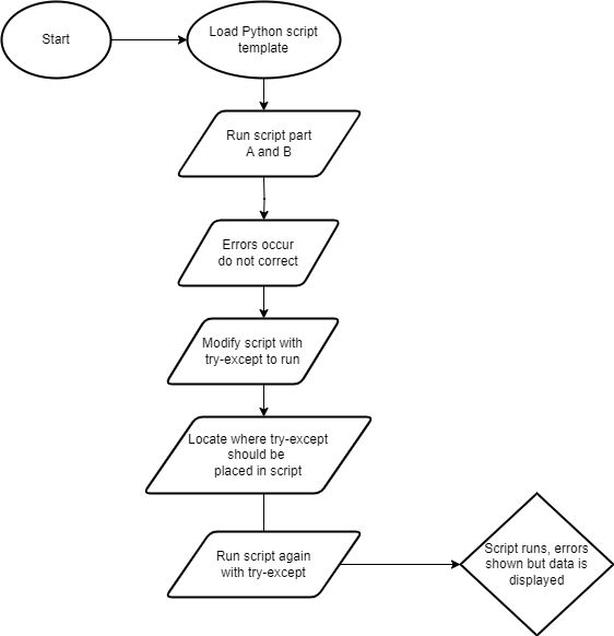
Pseudocode
Start
Set up
Prepare to write text file
Create(write) text file
Create variables
Field 1 = Feature/row OID
Field 2 = Vertex ID
Field 3 = X coordinate
Field 4 = Y coordinate
Field 5 = Name of the river feature
Create for loop
Close text file
Delete row and cursor variables outside of all loops
Stop
 |
| Flow chart |
As I said it helps me to keep a notepad of scripts we must use to complete exercises. This week was consistent with previous weeks of reminding me to read through each script to ensure better understanding. This allows me to make mental notes of proper syntax. I created a notepad of scripts from completed exercises before beginning the assignment. This is very helpful in narrowing my focus to the script and helps me to understand it better. For this assignment, I went back to exercise 5’s scripts I saved as notes to get me going. Courses such as this have a way of “forcing “ me to be better organized and to find the greater detail in the details.


.png)


